
Why I Always Pull the Plat Map
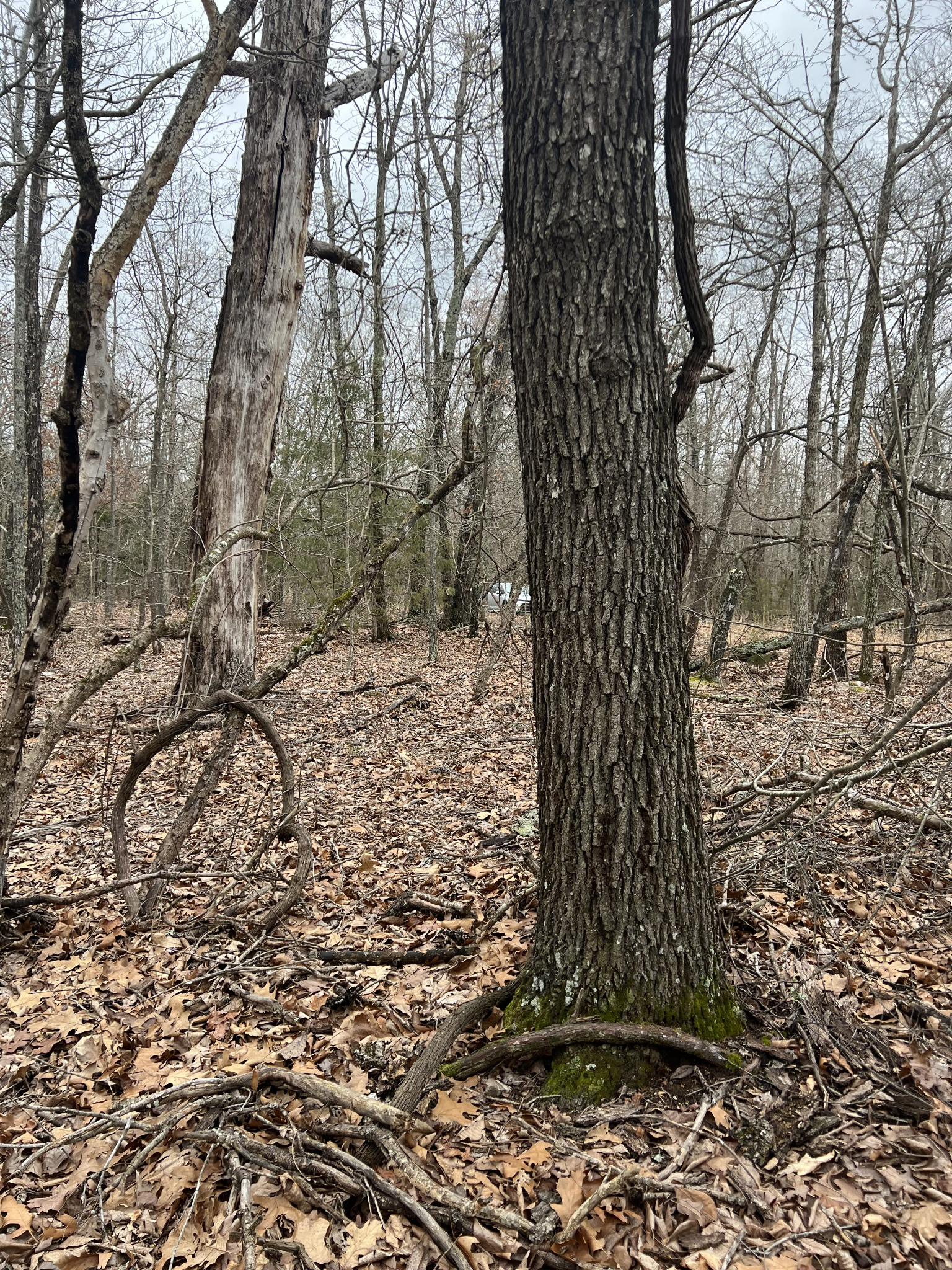
When I'm looking at a lot in a subdivision, one of the first things I want to see is the plat map.
It's not fancy. A lot of them are old, hand drawn and hard to read. But it can tell you things you won't find anywhere else.
What a plat map is
A plat map is the official map of a subdivision. When land gets split into lots, the developer has a surveyor draw up the plat, and it gets recorded with the county.
It's basically the blueprint for the neighborhood.
What it shows
Every plat is a little different, but here's what you'll usually find.
- Lot and block numbers. This is how the lot is identified in the legal description. When you see something like "Lot 7, Block 3" on a deed, the plat shows you exactly which lot that is.
- Lot lines and dimensions. How wide and how deep each lot is.
- Streets. Where the roads were laid out, and what they're named.
- Easements. Many plats show utility and drainage easements along lot lines.
- Notes and restrictions. Some plats include notes about building lines, setbacks or other rules.
- Common areas. Parks, lake access, green space and other shared land.
What I check
Here's what I'm looking for when I pull a plat.
Does the lot match the legal description? I want to make sure the lot number and block on the deed line up with the lot on the plat, and that the size matches what the seller says.
Does the road actually exist? This is a big one. Sometimes a street shows up on the plat but was never built. People call these paper roads. The plat shows a road, but out in the real world there's just trees or brush. So I compare the plat to Google Earth to see if there's a real road there.
What's the shape of the lot? A lot can look fine in a listing and turn out to be long and skinny, or oddly shaped, on the plat. That can matter a lot for where you can build.
Where are the easements? If there's a utility easement running along the back or side of the lot, that's space you probably can't build on. I wrote about that in Easements Explained for Land Buyers.
Are there any notes? I always read the fine print on the plat. Sometimes it mentions building lines, drainage or other details that change how you'd use the lot.
Where to find it
Plats are recorded with the county, usually with the County Clerk. Some counties have them online, and some don't. If you can't find it online, call the County Clerk's office, give them the subdivision name and ask how to get a copy. There may be a small fee.
The legal description from the deed or the county appraisal district will usually tell you the subdivision name, lot and block. That's what you'll need. I covered how to find that in How to Make Sure a Land Deal Is Legit.
What a plat map isn't
A plat map shows how the subdivision was laid out on paper. It's not a survey of your specific lot today.
Things can change over the years. Fences get put in the wrong place. Roads get built a little off from where they were drawn. If you need to know exactly where your corners are, you need a survey. My post on surveys and title companies explains why.
Why it's worth the trouble
Pulling the plat takes a little time and maybe a phone call. In return, you find out about paper roads, easements, odd lot shapes and other surprises before you spend a dime.
I'd rather learn those things from a map than from a backhoe.
A lot in a subdivision
Our lot at 1102 Hickory is in the Woodland subdivision in Horseshoe Bend, Arkansas. It's 0.3 acres with electricity available behind the lot and water available, and it's walking distance to the Strawberry River. It's $3,249 cash, or $324 down, then $75 a month for 39 months. Take a look at 1102 Hickory, and if you want help pulling the plat, text me at (817) 631-1858.
Jarod
Looking for land?
Most of our properties come with simple owner financing. See what is for sale right now.
See land for sale